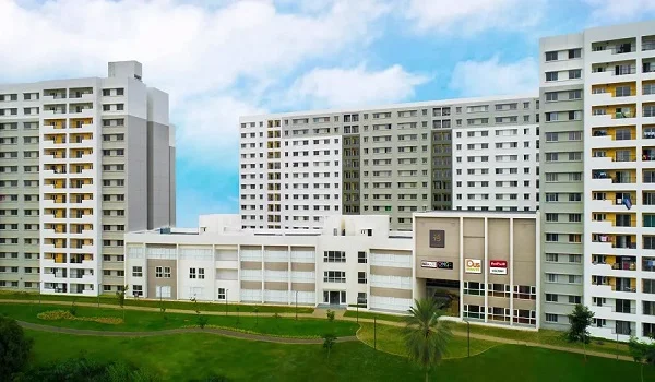
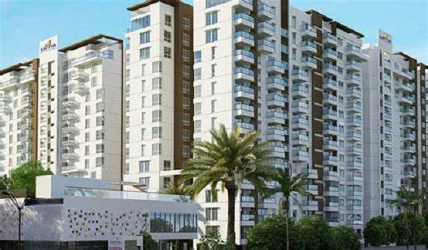
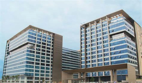
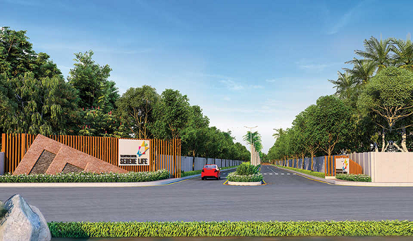
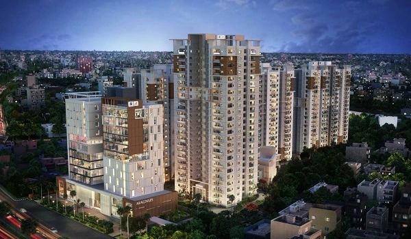
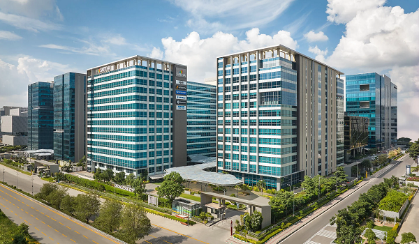
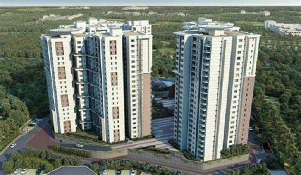
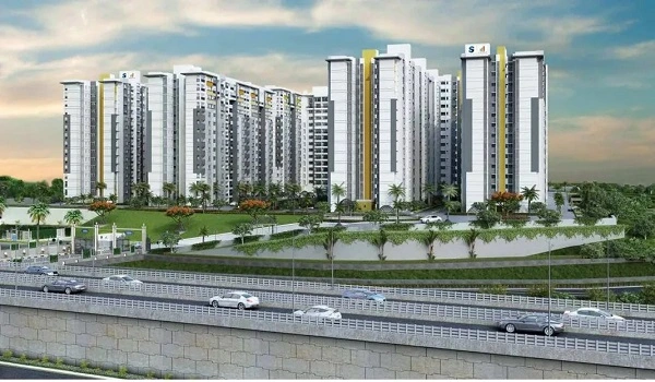
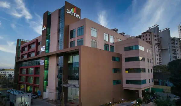
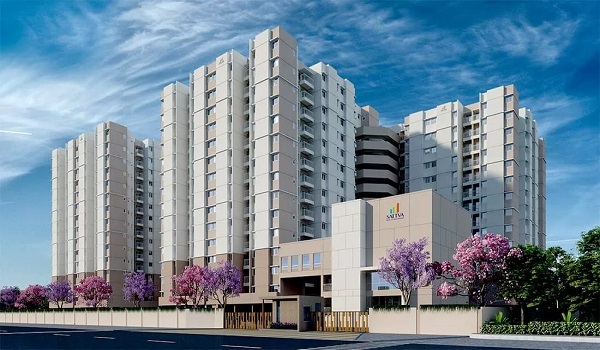
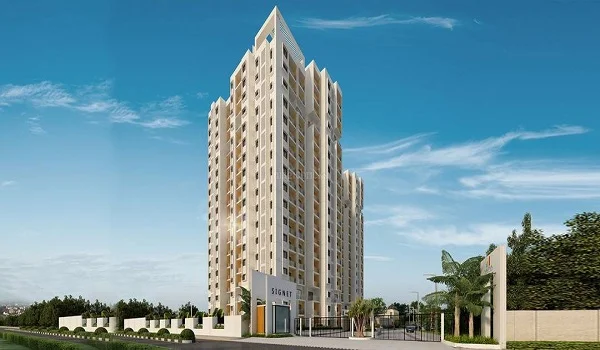
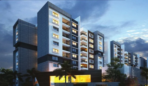
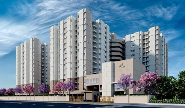
This township covers a large premium real estate zone in North Bangalore. The project includes Survey Numbers 4/2, 4/3, 5/2, 45, and 67 of Meenakunte. It also covers Survey Numbers 167, 169/1, 169/2, 172/1, 172/2, and 172/3.
Other layout parts include 176/1, 176/2, 177, 178/1, 178/2, 179, and 180. The layout ends with 181/2, 185, and 43/16 of Doddajala Village area. The project sits in Jala Hobli, Yelahanka Taluk, Bangalore Urban District. The postal code for this area is 562157 for location tracking.
The mapping coordinates are Latitude 13.184569338139074 and Longitude 77.64620267223647 exactly.
The exact boundary schedules are listed below:
- North Boundary: North side has Sy.No.68, 69 of Meenakunte, Sy.No.193, and part of 43 Doddajala Village.
- South Boundary: South boundary has Sy.No.4(P), 5(P), 67(P) of Meenakunte Village and Sy.No.165 Doddajala Village.
- East Boundary: East boundary has part of Sy.No.43, 166, 171, and 182 of Doddajala Village.
- West Boundary: West side borders NH-44 Bangalore Hyderabad Road, Sy.No.4(P), 7, and 44 of Meenakunte Village.