Sattva City Map
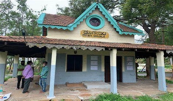
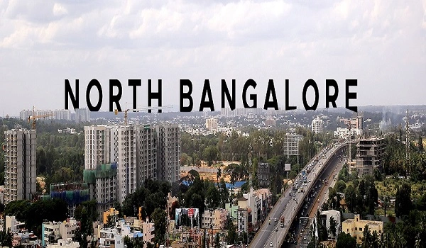
Sattva City Map shows the proper location of the project in Doddajala, North Bangalore, Karnataka 562157. This well-planned township features good roads, green spaces, and modern infrastructure. The map of Sattva City clearly shows its location and excellent connectivity with different parts of Bangalore.

• Prime Location:
• Sattva City is situated in North Bangalore.
• The area is known for its planned layout and easy navigation.
• Road Connections:
• The township is near important highways and roads. • It is close to the National Highway (NH 44), which links Bangalore to the airport and other cities. • Bellary Road is also nearby, providing smooth travel to many parts of the city.
• Map Benefits:
• The location map of Sattva City highlights these connections. • It makes it easier for residents and visitors to choose the best routes.
Understanding distances and travel times helps plan your day. Here are some key points:
• Distance: About 10 km
• Travel Time: Approximately 15 minutes by car via NH 44
• Distance: Around 20 km
• Travel Time: 30 to 35 minutes by road
• Distance: 12 km
• Travel Time: About 20 minutes
• Distance: 25 km
• Travel Time: Roughly 40 minutes by car
• Distance: Approximately 30 km
• Travel Time: Around 50 minutes by car
Sattva City is not only well-connected by road but also by public transport:
• Doddajala Metro Station:
• An upcoming metro station near Sattva City.
• Part of the Namma Metro Blue Line, enhancing connectivity to various parts of Bangalore.
• Other Transport Options:
• Buses are available 24/7 for local travel. • Cabs can be easily booked for easy travel.
The map of Sattva City also shows several important landmarks nearby:
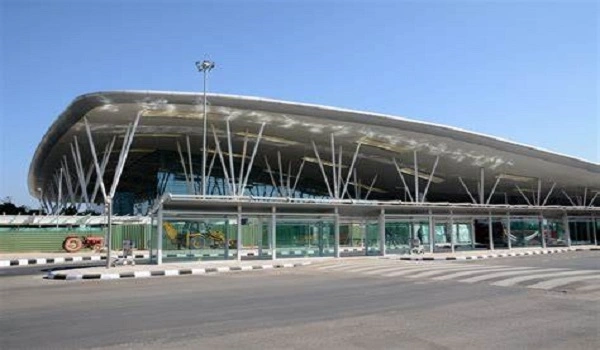
- Bangalore International Airport: 10 km
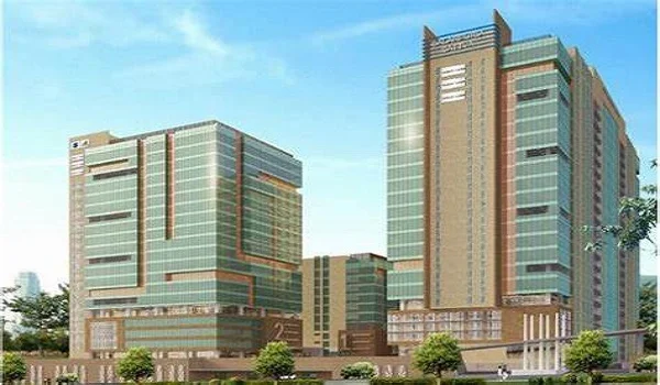
- Devanahalli Business Park: 12 km
- Yelahanka Air Force Station: 15 km
- Esteem Mall: 18 km
- Elements Mall: 22 km
Sattva City boasts a prime location with excellent connectivity. The map of Sattva City makes it easy to see its proximity to major roads, metro stations, and key landmarks. Whether you are commuting for work or leisure, the connectivity and infrastructure of Sattva City offer a smooth and stress-free travel experience.
| Enquiry |
